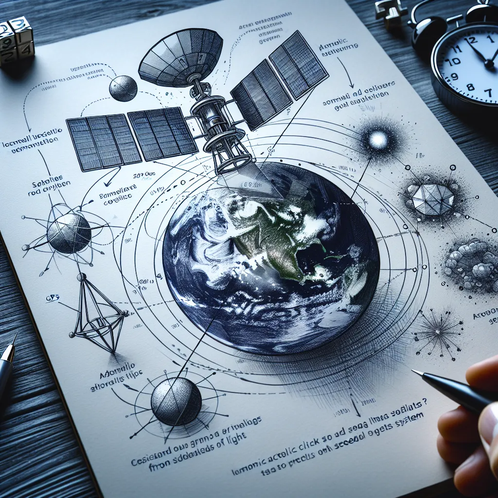
Ever wonder how your smartphone knows exactly where you are? The magic happens 12,000 miles above our heads, thanks to orbiting satellites syncing with atomic clocks powered by quantum mechanics. Sounds complex, right? Let’s break it down.
Understanding our location begins with time, strange as it might seem. Your phone determines how far it is from a satellite by catching radio signals that the satellite broadcasts continuously. These signals travel at the speed of light, so your phone measures the arrival time and calculates distance using the formula: distance = speed of light x time.
Here’s the hitch, though: light is insanely fast. If we only measured time to the nearest second, every point on Earth would seem equidistant from the satellite. To get it right down to a few feet, we need ultra-precise clocks. That’s where atomic clocks come in. They’re so accurate they wouldn’t lose or gain a second in 300 million years.
Atomic clocks work because of quantum physics. All clocks rely on a regular, repetitive action to mark time. For instance, a grandfather clock’s pendulum swings constantly. In atomic clocks, this repetitive action comes from transitions between energy levels of an atom, dictated by quantum mechanics.
Quantum mechanics teaches us that atoms carry energy but only in precise amounts. Think of it like shifting gears in a car—not smooth acceleration but instant jumps between speeds. When an atom transitions between energy levels, the energy difference is tied to a fixed frequency. This frequency, multiplied by a constant called Planck’s constant, is the heartbeat of our atomic clock.
GPS satellites use cesium and rubidium atoms to set these frequencies. For cesium 133, it’s an astounding 9,192,631,770 Hz, or 9 billion cycles per second. Unlike traditional clocks, which can vary slightly, every cesium 133 atom oscillates at precisely the same frequency. This gives us a time measurement accurate to within a billionth of a second, helping us calculate distances with immense precision.
Imagine you’re on the surface of a sphere centered around the satellite, defined by the measured distance. By doing this with another satellite, you get another overlapping sphere. Add a couple more satellites and some tweaks from Einstein’s theory of relativity, and you can pinpoint your exact location.
So, that’s all it takes really: a smartphone, a mesh of satellites, some principles of quantum mechanics, a bit of relativity, and voila, your location is pinpointed. Simple enough, right?


