In the early 1500s, a small copper globe featured Southeast Asia with the note, “Here be dragons.” Though this exact phrase wasn’t common, medieval European mapmakers often drew dragons and sea monsters over unknown lands. For thousands of years, people across the world created practical maps showing trade routes, settlements, water sources, and coastlines, as well as cosmographies illustrating the Earth and the cosmos, with gods and mythical locations.
Between the Middle Ages and the mid-17th century, cartographers from Eurasia and North Africa melded these traditions into new world maps. Often commissioned by rulers, these maps aimed more to depict geography than to aid navigation. Due to incomplete knowledge, they were filled with hypotheses, some being wildly inaccurate.
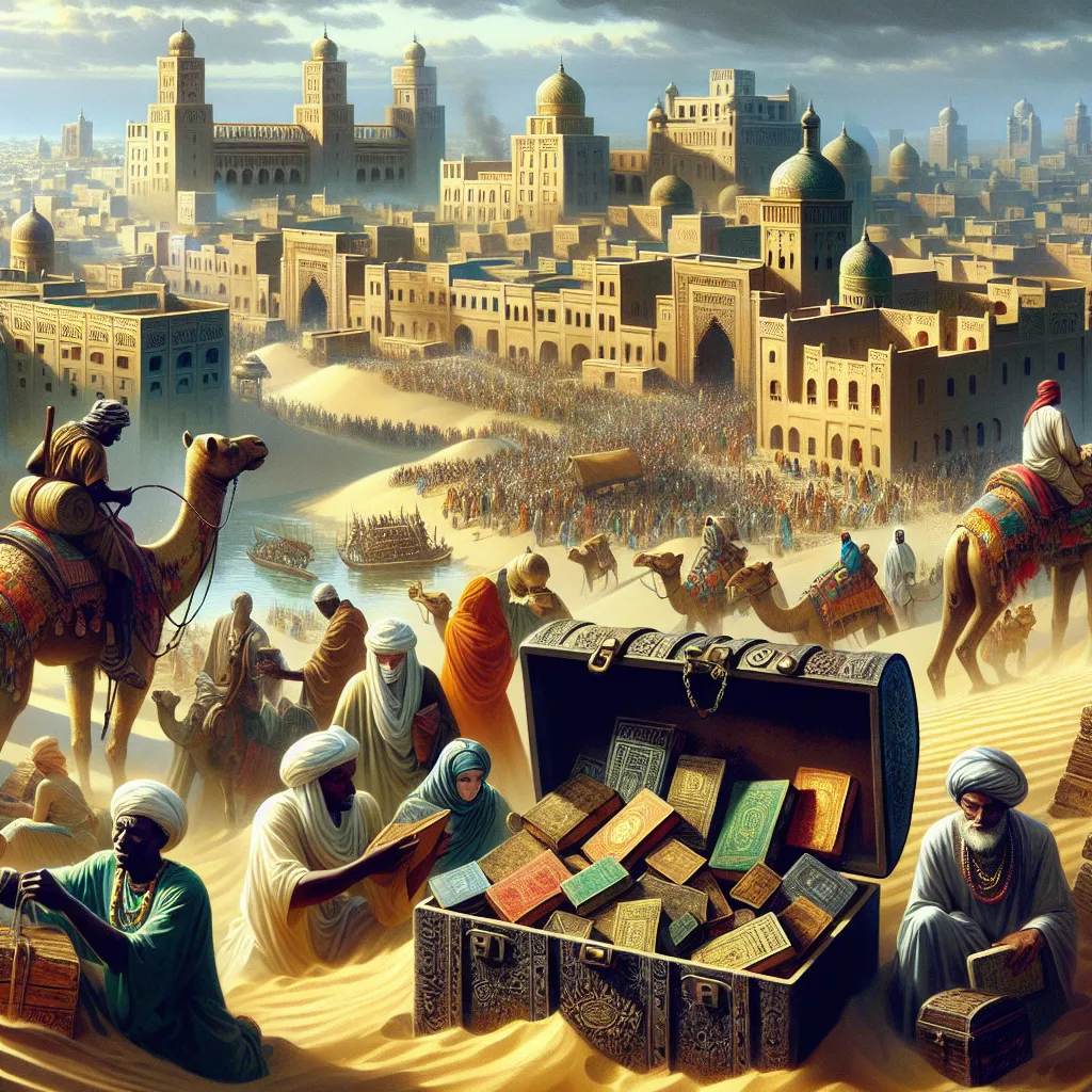
In medieval Europe, a popular map style known as mappae mundi appeared, often resembling cosmographies with features like the Garden of Eden or mythical dragons. These maps showed the world’s land as a single mass shaped like a T surrounded by an ocean ring. Islamic mapmakers also used this format, focusing more on geographic details. One early accurate map was by Ibn Hawqal, informed by his travels.
In 1154, the King of Sicily commissioned the Islamic cartographer Al-Idrisi to create the “Tabula Rogeriana” or “A Guide to Pleasant Journeys into Faraway Lands.” This included a world map based on interviews and Al-Idrisi’s travels, correctly showing the Earth as a flattened sphere but mistakenly thought Europe, Asia, and North Africa wrapped around it.
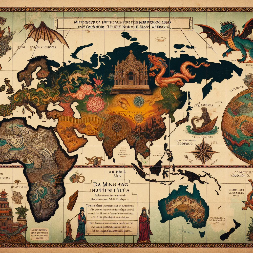
China’s 1389 “Da Ming Hunyi Tu” was a giant silk map correctly depicting sub-Saharan Africa based on traders’ accounts. European cartographers of the 15th century started broadening their maps as explorers traversed the globe. German cartographer Martin Waldseemuller mapped the Americas in 1507 as a thin eastern sliver. Spanish maps once depicted “Island of California” based on misinterpreted explorers’ accounts.
In 1595, Flemish cartographer Gerardus Mercator, known for his world map, theorized the North Pole had a giant magnetic rock, explaining compasses pointing north. Even as Europeans neared a complete Earth picture, they still imagined blank spots filled with mythic beasts. English scholar Peter Heylin, in 1657, still lumped Australia with Utopia and Fairyland. While European maps often showed uncharted lands, these areas were home to real people and cultures, many of which were destroyed by those who mapped them.